🚚 Free Worldwide Shipping on All Orders!Shop Now
Yosemite National Park
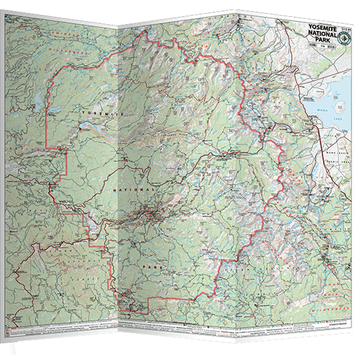
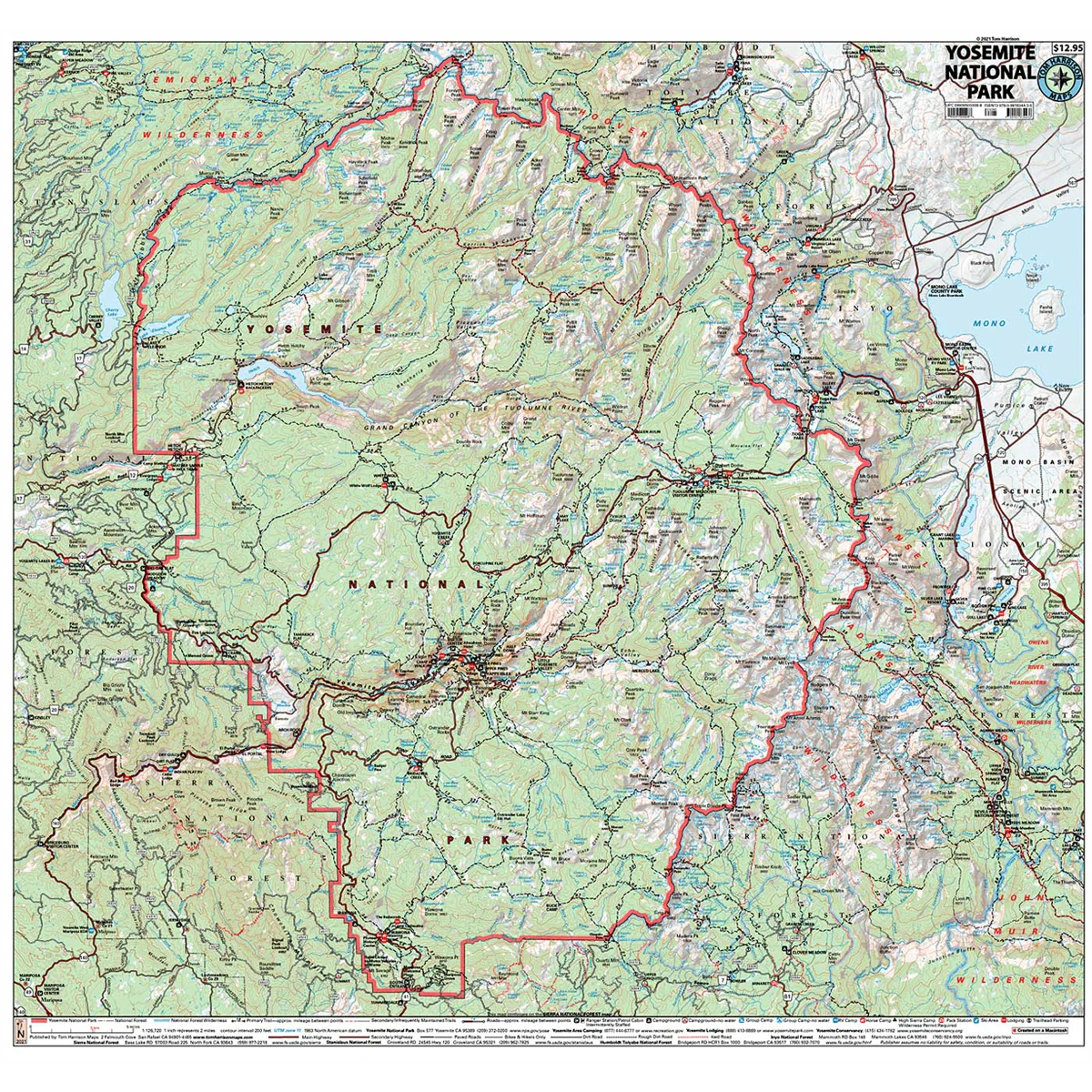
The Yosemite National Park Map shows complete coverage of the entire national park. Includes access roads and entrance gates, trailheads, campgrounds, visitor centers, lodging and much more.
- Pub. 2025
- Scale 1:126,720
- 200 ft contour lines
- Water-proof and tear resistant
- Full-color and light-weight
- Shaded-relief topography
- Color-coded symbols and trails
- Mileages between trail junctions
- Latitude/longitude
- UTM grids
- Contour lines
- Vegetation
- Elevations at trail junctions
$3.88
Original: $12.95
-70%Yosemite National Park—
$12.95
$3.88More Images
Yosemite National Park
The Yosemite National Park Map shows complete coverage of the entire national park. Includes access roads and entrance gates, trailheads, campgrounds, visitor centers, lodging and much more.
- Pub. 2025
- Scale 1:126,720
- 200 ft contour lines
- Water-proof and tear resistant
- Full-color and light-weight
- Shaded-relief topography
- Color-coded symbols and trails
- Mileages between trail junctions
- Latitude/longitude
- UTM grids
- Contour lines
- Vegetation
- Elevations at trail junctions
Product Information
Product Information
Shipping & Returns
Shipping & Returns
Description
The Yosemite National Park Map shows complete coverage of the entire national park. Includes access roads and entrance gates, trailheads, campgrounds, visitor centers, lodging and much more.
- Pub. 2025
- Scale 1:126,720
- 200 ft contour lines
- Water-proof and tear resistant
- Full-color and light-weight
- Shaded-relief topography
- Color-coded symbols and trails
- Mileages between trail junctions
- Latitude/longitude
- UTM grids
- Contour lines
- Vegetation
- Elevations at trail junctions