Pt Reyes National Seashore
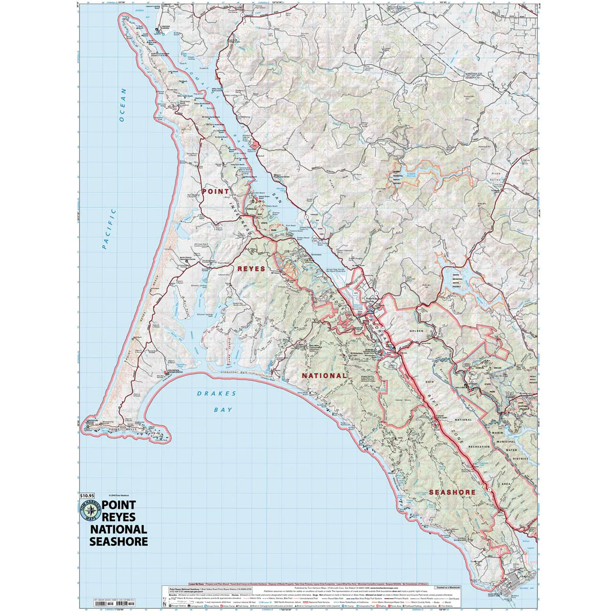
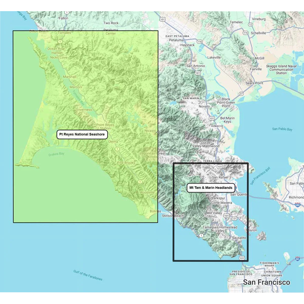
The Pt Reyes National Seashore Map covers the entire protected area. This is one of the best areas for backpacking and exploring within close proximity of the Bay Area. The map shows the National Seashore, and the main access road via Point Reyes Station. The various back-country camps are clearly marked, all of which are accessible only on foot or horseback along with a string of boat-in campgrounds on Tomales Bay. The map has excellent detail including trail mileage and elevation points.
- Pub. 2025
- Scale 1:48,000
- 80 ft contours
- Water-proof and tear resistant
- Full-color and light-weight
- Shaded-relief topography
- Color-coded symbols and trails
- Mileages between trail junctions
- Latitude/longitude
- UTM grids
- Contour lines
- Vegetation
- Elevations at trail junctions
Original: $12.95
-70%$12.95
$3.88More Images
Pt Reyes National Seashore
The Pt Reyes National Seashore Map covers the entire protected area. This is one of the best areas for backpacking and exploring within close proximity of the Bay Area. The map shows the National Seashore, and the main access road via Point Reyes Station. The various back-country camps are clearly marked, all of which are accessible only on foot or horseback along with a string of boat-in campgrounds on Tomales Bay. The map has excellent detail including trail mileage and elevation points.
- Pub. 2025
- Scale 1:48,000
- 80 ft contours
- Water-proof and tear resistant
- Full-color and light-weight
- Shaded-relief topography
- Color-coded symbols and trails
- Mileages between trail junctions
- Latitude/longitude
- UTM grids
- Contour lines
- Vegetation
- Elevations at trail junctions
Product Information
Product Information
Shipping & Returns
Shipping & Returns
Description
The Pt Reyes National Seashore Map covers the entire protected area. This is one of the best areas for backpacking and exploring within close proximity of the Bay Area. The map shows the National Seashore, and the main access road via Point Reyes Station. The various back-country camps are clearly marked, all of which are accessible only on foot or horseback along with a string of boat-in campgrounds on Tomales Bay. The map has excellent detail including trail mileage and elevation points.
- Pub. 2025
- Scale 1:48,000
- 80 ft contours
- Water-proof and tear resistant
- Full-color and light-weight
- Shaded-relief topography
- Color-coded symbols and trails
- Mileages between trail junctions
- Latitude/longitude
- UTM grids
- Contour lines
- Vegetation
- Elevations at trail junctions