Hoover Wilderness
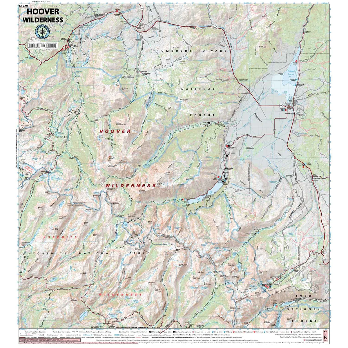
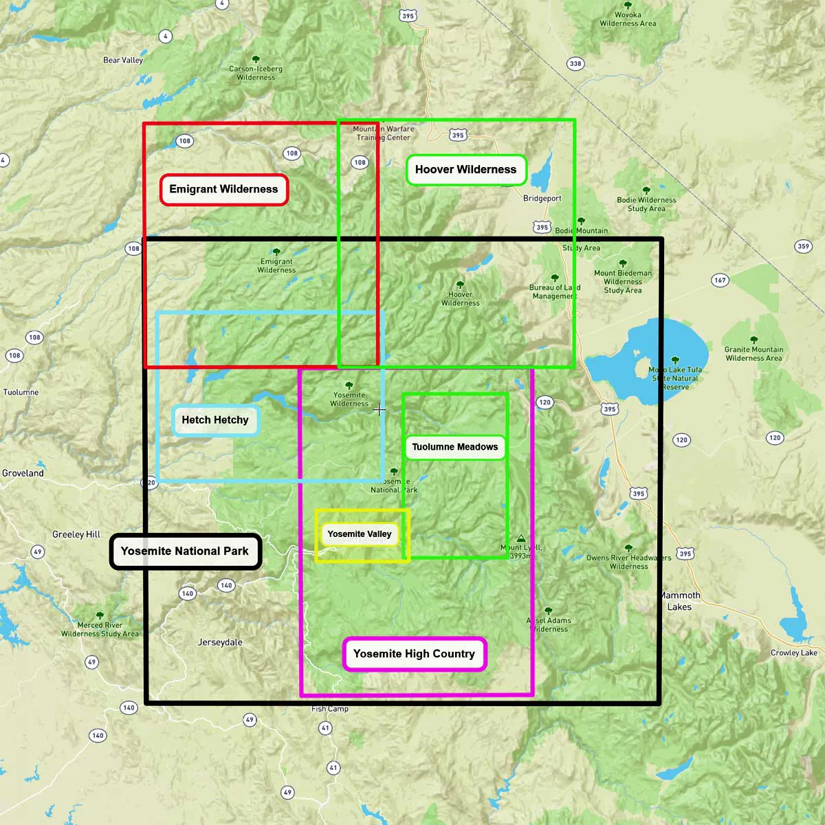
The Hoover Wilderness Map shows complete coverage of the entire wilderness area. Bordered on the south by Yosemite National Park, and on the west by the Emigrant Wilderness. The map shows trailheads, campgrounds, ranger stations, equestrian facilities, forest service roads, trail mileage, elevation points and more.
- Pub. 2025
- Scale 1:63,360
- 80 ft contours
- Water-proof and tear resistant
- Full-color and light-weight
- Shaded-relief topography
- Color-coded symbols and trails
- Mileages between trail junctions
- Latitude/longitude
- UTM grids
- Contour lines
- Vegetation
- Elevations at trail junctions
Original: $12.95
-70%$12.95
$3.88More Images
Hoover Wilderness
The Hoover Wilderness Map shows complete coverage of the entire wilderness area. Bordered on the south by Yosemite National Park, and on the west by the Emigrant Wilderness. The map shows trailheads, campgrounds, ranger stations, equestrian facilities, forest service roads, trail mileage, elevation points and more.
- Pub. 2025
- Scale 1:63,360
- 80 ft contours
- Water-proof and tear resistant
- Full-color and light-weight
- Shaded-relief topography
- Color-coded symbols and trails
- Mileages between trail junctions
- Latitude/longitude
- UTM grids
- Contour lines
- Vegetation
- Elevations at trail junctions
Product Information
Product Information
Shipping & Returns
Shipping & Returns
Description
The Hoover Wilderness Map shows complete coverage of the entire wilderness area. Bordered on the south by Yosemite National Park, and on the west by the Emigrant Wilderness. The map shows trailheads, campgrounds, ranger stations, equestrian facilities, forest service roads, trail mileage, elevation points and more.
- Pub. 2025
- Scale 1:63,360
- 80 ft contours
- Water-proof and tear resistant
- Full-color and light-weight
- Shaded-relief topography
- Color-coded symbols and trails
- Mileages between trail junctions
- Latitude/longitude
- UTM grids
- Contour lines
- Vegetation
- Elevations at trail junctions