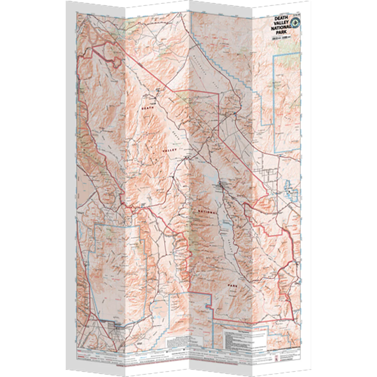
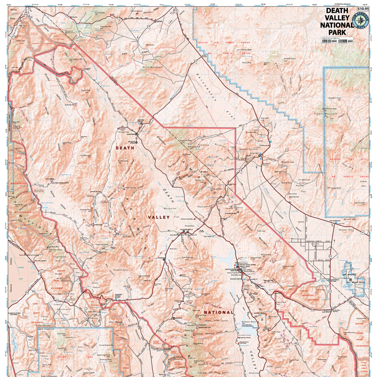
Death Valley National Park
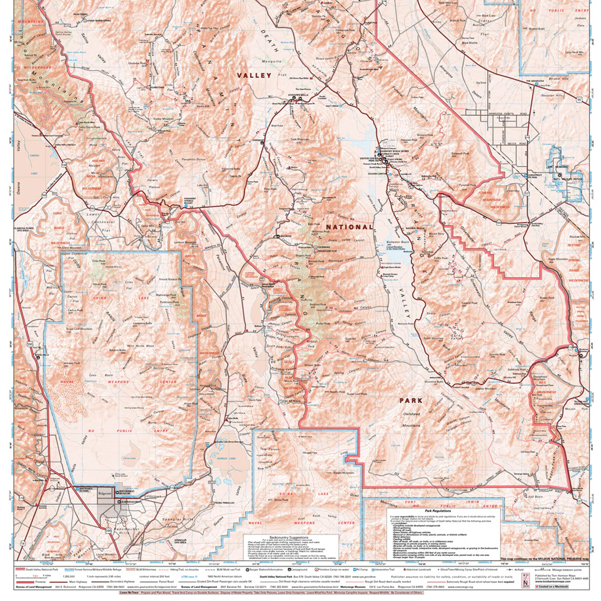
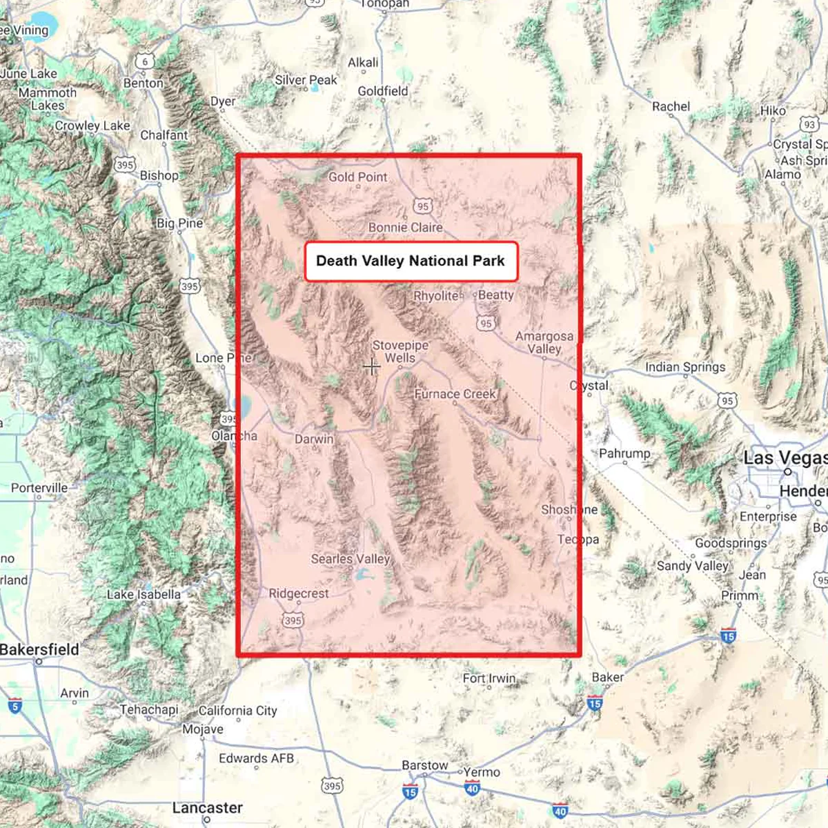
The Death Valley National Park Map shows complete coverage of the entire national park. It covers 3.4 million acres surrounding the lowest point in North America. It is marked by extreme landscapes and some of the hottest temps ever recorded. It can be visited anytime of the year, but the best times are Oct-April.
- Pub. 2020
- Scale 1:253,440
- 200 ft contours
- Water-proof and tear resistant
- Full-color and light-weight
- Shaded-relief topography
- Color-coded symbols and trails
- Mileages between trail junctions
- Latitude/longitude
- UTM grids
- Contour lines
- Vegetation
- Elevations at trail junctions
Original: $12.95
-70%$12.95
$3.88More Images
Death Valley National Park
The Death Valley National Park Map shows complete coverage of the entire national park. It covers 3.4 million acres surrounding the lowest point in North America. It is marked by extreme landscapes and some of the hottest temps ever recorded. It can be visited anytime of the year, but the best times are Oct-April.
- Pub. 2020
- Scale 1:253,440
- 200 ft contours
- Water-proof and tear resistant
- Full-color and light-weight
- Shaded-relief topography
- Color-coded symbols and trails
- Mileages between trail junctions
- Latitude/longitude
- UTM grids
- Contour lines
- Vegetation
- Elevations at trail junctions
Product Information
Product Information
Shipping & Returns
Shipping & Returns
Description
The Death Valley National Park Map shows complete coverage of the entire national park. It covers 3.4 million acres surrounding the lowest point in North America. It is marked by extreme landscapes and some of the hottest temps ever recorded. It can be visited anytime of the year, but the best times are Oct-April.
- Pub. 2020
- Scale 1:253,440
- 200 ft contours
- Water-proof and tear resistant
- Full-color and light-weight
- Shaded-relief topography
- Color-coded symbols and trails
- Mileages between trail junctions
- Latitude/longitude
- UTM grids
- Contour lines
- Vegetation
- Elevations at trail junctions